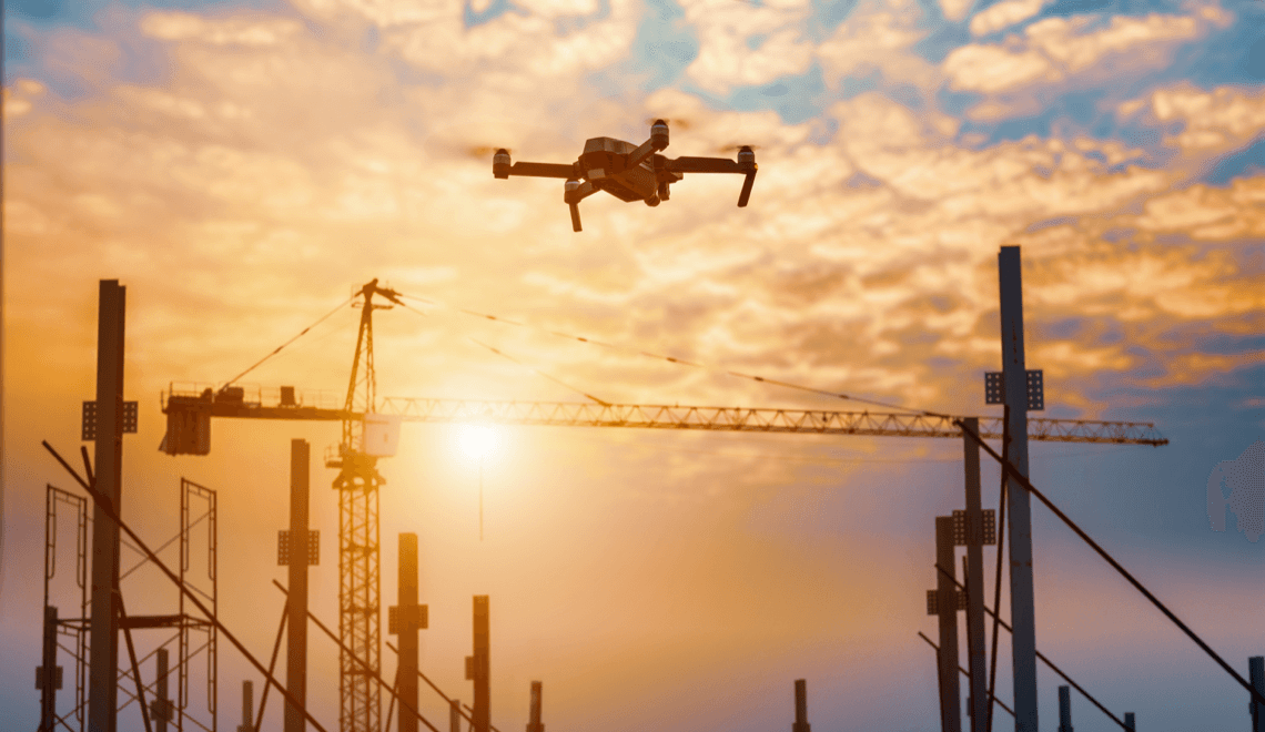
Drone photogrammetry enables precise and efficient analysis of construction sites by creating detailed maps and 3D models. This not only saves time but also enhances accuracy, ensuring that you remain competitive in the industry.
By using drone technology in your construction projects, you gain the ability to capture high-resolution imagery and real-time data. This allows for better site progress monitoring and quality control. Drones capture data that would be difficult, time-intensive or even dangerous to obtain through traditional methods. This improves how you manage and visualise construction projects.
Incorporating photogrammetry improves your understanding of site conditions, streamlining planning and execution. With this technology, you can achieve survey-grade vertical and horizontal accuracy, ensuring that projects align with specifications and reduce errors.
Fundamentals of drone photogrammetry
Drone photogrammetry involves capturing aerial photographs to build maps and models of construction sites. Understanding the different drone types and photogrammetry software tools will help you ensure the accuracy of drone photogrammetry.
Understanding drone types and their capabilities
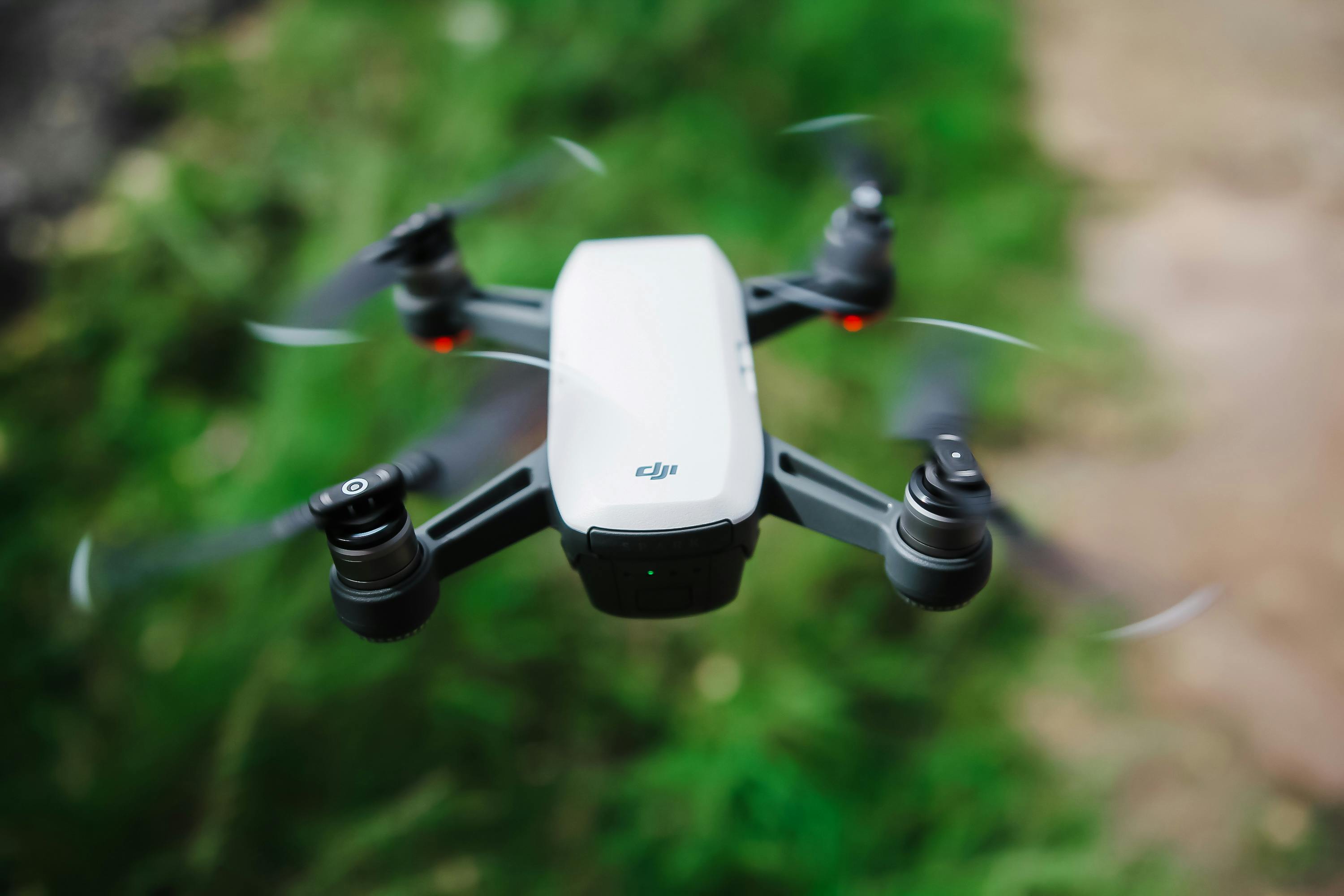
When choosing drones for photogrammetry, both fixed-wing drones and multi-rotor drones have their uses. Fixed-wing drones are excellent for covering large areas quickly, making them ideal for expansive sites. They fly longer, but require more space for takeoff and landing.
On the other hand, multi-rotor drones are great for detailed work and can hover in place. This makes them perfect for capturing complex structures. They are easier to control and can operate in tight spaces.
You should look for cameras that offer high resolution and stability. This ensures that the drone-captured images are clear and detailed for accurate photogrammetric processing. The types of cameras installed often define the final image quality. The DJI Matrice 3 is the most established drone on the market for this type of surveying, and comes as part of a drone in a box service that gives you access to on-demand, on-site drones.
Essential components of photogrammetry software
Photogrammetry software is the backbone of creating precise maps and models. It helps stitch the images into coherent maps and 3D models. The process involves transforming 2D aerial photographs into 3D models, a task handled by the software’s algorithms and the precise aerial photographs captured by drones.
Look for software with efficient image processing capabilities and support for a wide range of drone types. Features like automated image processing and cloud support can enhance workflow efficiency.
Additionally, consider software tools that allow integration with other construction tools like CAD and BIM software. This synergy can provide seamless transitions from aerial mapping to planning and implementation. Your choice of software significantly impacts the quality and usability of the maps and models you produce.
Executing drone surveys for construction
Using drone surveys in construction requires careful planning and execution to gather precise data and monitor project progress. From managing drone flights to ensuring data accuracy with ground control, each step leads to successful implementation. This approach allows for enhanced project monitoring and timely decision-making.
Planning and managing drone flights
To execute effective drone surveys, you need to plan each single flight meticulously. Start by identifying the construction site’s specific needs and objectives to tailor your approach. Evaluate terrain features and obstacles to determine the best flight path. Creating a pre-planned flight path ensures efficient coverage and maximises flight time.
Software tools can take a lot of the work out of this by automating flight paths and monitoring drones in real-time. This automation helps maintain consistency and reduces manual errors. Consider environmental conditions such as weather and wind speed, as they can impact aerial image quality and flight safety.
For businesses that need continual monitoring of their construction site, a dedicated on-site drone may be the best option. With Dronebox, you get access to your own drone and on-site dock, which can be deployed whenever you need monitoring or aerial surveys. This service is fully managed by surveyors at Dronebox, with installation, maintenance and automated flight paths taken care of.
Achieving accurate data with ground control
Ground control is vital for capturing precise aerial data. Implementing ground control points (GCPs) across the construction site ensures your drone captures accurate spatial information. These physical markers help correct any distortions or errors in the drone-captured images.
Use high-quality GPS equipment to place GCPs accurately. Check your drone’s ground sampling distance (GSD), as it influences the level of detail in drone-captured images. A lower GSD typically results in more detailed images, enhancing horizontal and vertical accuracy. Regularly validate the accuracy of drone photogrammetry data by comparing it with established ground truths.
Monitoring project progress through aerial imaging
Drones provide a unique vantage point for progress monitoring on construction sites. Regular flights enable you to capture aerial images that document project changes over time. These images help identify delays, resource requirements or construction errors early on.
Analyse aerial photogrammetry data to track construction milestones and manage resources effectively. Use software to create models and maps from images, making it easier to visualise site progress. Consistent monitoring allows you to address potential issues promptly, ensuring your projects stay on schedule and within budget.
Data extraction and analysis
With fast image processing, you can obtain precise measurements, calculate volumes and create detailed digital models. These capabilities enhance the accuracy and efficiency of construction projects.
Image processing
When drones capture images, they gather vast amounts of data that require photogrammetric processing. This image processing involves stitching them together to form a seamless map. High-quality images are vital for accurate digital surface models. You must ensure proper image overlap and flight paths to achieve the necessary detail.
Specialised software analyses these images to correct distortions and aligns them using the ground control point physical markers. This process results in 3D models that help in accurate site planning.
Obtaining high-accuracy measurements
Photogrammetry allows you to extract precise measurements from photographs. This is essential for creating reliable digital terrain models and digital elevation models.
The accuracy of drone photogrammetry is dependent on factors like camera quality and flight altitude. You can enhance measurement precision by using ground control points as physical markers strategically placed across the site. With accurate measurements, you can better estimate material quantities and streamline construction processes.
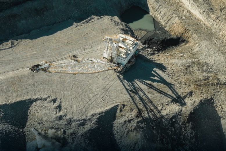
Volume calculations and digital modelling
Another advantage of drone photogrammetry is its ability to perform accurate volume calculations. By creating precise 3D models, you can determine the volume of materials on-site, like piles of earth or aggregate.
This is useful for tasks such as excavation or filling, ensuring that resources are used efficiently. You can also create digital models for visualisations and simulations, aiding in careful planning and presentation. These models inform decision-making and improve project outcomes.
Operational challenges and best practices
In the realm of construction site analysis, drone photogrammetry offers new perspectives. However, operational challenges like environmental conditions and maintaining quality control are key components that you need to consider for effective use.
Adapting to environmental conditions
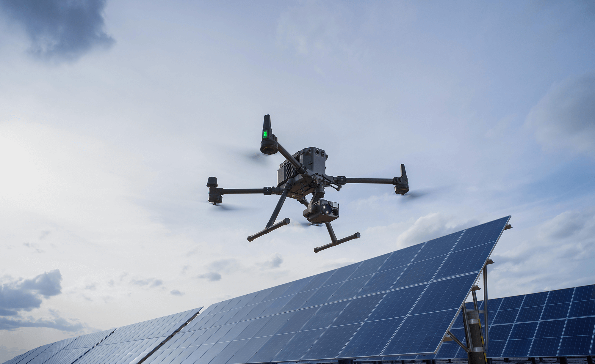
Weather conditions such as wind and rain can interfere with drone flight and data quality. Environmental monitoring is essential to identify the best times for drone operation. Choosing a drone designed to withstand harsh conditions can improve the available times you can carry out aerial surveys too.
The DJI Matrice 3D is designed to withstand a lot of weather conditions, including wind and rain. If the conditions are expected to become too hazardous, its weather forecasting and monitoring features allow it to intelligently return to its base station, aka its dock, until they are safe again.
Lighting conditions play a significant role in image quality. Bright sunlight can cause glare, while low-light conditions can reduce visibility. Planning for optimal lighting conditions, like early morning or late afternoon, can help. Drones with powerful types of cameras can mitigate these issues.
Ensuring the quality of photogrammetric outputs
Maintaining the image quality of photogrammetric outputs relies on a well-planned flight path and strategic drone positioning, which are both necessary to capture comprehensive data.
Regular quality checks during basic drone operations prevent flawed data collection. This involves verifying image overlap, ensuring that images are captured at the right angles and checking the clarity of the images.
Using software for image processing can improve the precision of the photogrammetric outputs. These tools help in creating accurate models and maps by enhancing image resolution and correcting distortions. By focusing on these photogrammetric processing best practices, you can significantly reduce errors and improve the reliability of your construction site analysis with drones.
Additional applications of drone photogrammetry
Drone photogrammetry offers precise data collection and analysis. The applications of drone photogrammetry are diverse, ranging from urban planning enhancements to land and environmental management improvements.
Enhancing urban planning and infrastructure
Drone photogrammetry provides an efficient method for improving urban planning. Drones can capture detailed aerial photos, offering fresh perspectives for city planners. This allows you to visualise spaces and identify potential obstacles in infrastructure development. These insights help optimise the placement of structures and transportation networks, easing congestion and enhancing connectivity.
The use of photogrammetry in urban planning supports critical infrastructure projects. By generating accurate 3D models, you can assess how new developments integrate with existing environments. This makes it easier to adapt plans as necessary, ensuring sustainable growth and reducing unexpected construction costs.
Revolutionising land and environmental management
For environmental management, drone photogrammetry offers significant advantages. You can quickly gather data about large areas, enabling effective monitoring of environmental conditions like vegetation health and erosion. This helps in identifying regions that need conservation efforts or are at risk due to climate factors.
Drone mapping transforms land management through topographic surveys. These topographic mappings enable better and more careful planning, environmental monitoring and improved use of land resources. You can monitor changes in the topography through digital terrain models, ensuring construction projects do not adversely impact the environment. This shows how drone technology can help balance development with environmental care.
Frequently asked questions
Drone photogrammetry is an invaluable tool in the construction industry as it enhances the vertical and horizontal accuracy of your site , streamlines project management and boosts safety. Below, you’ll find answers to common questions about how these innovations are impacting construction sites.
What advancements in drone technology have benefitted construction site mapping?
Advancements like improved camera quality and longer flight times mean drones capture more detailed images. Enhanced GPS technology allows for precise localisation, making site mapping more accurate. These improvements contribute to better project planning and execution.
How does drone photogrammetry enhance the accuracy of site surveys?
Drone photogrammetry can generate detailed 3D models and accurate maps. It captures data from multiple angles and heights, providing a comprehensive view. This ensures that site surveys are more precise, reducing errors in project planning.
How does the integration of drones streamline project management in construction?
Drones provide real-time data and imagery, supporting quick decision-making. They can cover large areas swiftly, saving time on manual inspections. This integration helps manage resources better and keeps projects on schedule.
How can photogrammetric data obtained from drones improve risk assessments on construction projects?
Photogrammetric data helps identify potential hazards by offering detailed site views. You can assess the terrain and structural integrity with ease. This foresight allows for better risk management and reduces the likelihood of on-site accidents.
What is the impact of drone surveillance on the safety and security measures at construction sites?
Drones enhance site surveillance by monitoring activities continuously. They can provide live footage, helping security teams respond promptly to incidents. The aerial view assists in spotting safety risks, ensuring adherence to safety protocols.
How have drones revolutionised the way construction progress is documented and reported?
Drones capture regular updates of construction progress through high-resolution images and videos. This documentation provides a clear record accessible to stakeholders, enhancing transparency. It streamlines reporting and keeps all parties informed on project status.
More Articles
How Do Drone Site Surveys Work & What Benefits Do They Offer?
Drone site surveys use aerial technology to collect accurate, detailed data from above, saving you both time and effort compared to traditional methods. With a drone, you can see large areas in minutes, spot issues fast and get high-quality images or maps without needing to be on site for hours. This technology is making surveys […]
Drones in Construction: a Guide to Uses and Key Benefits
Working in construction, you know how important it is to keep projects safe, on schedule and within budget. Drones in construction can help you monitor your site, check progress and improve worker safety while saving both time and money. By using drones, you get high-resolution aerial imagery and data that used to take days to […]
A Guide to Unmanned Aerial Systems (UAS) & Business Use Cases
Unmanned aerial systems (UAS), often called drones, have quickly become valuable tools across different industries. You can use UAS for jobs like inspecting infrastructure, taking aerial photographs and studying the environment. Businesses are finding new ways to save time, reduce costs and improve safety by using drones for tasks that were once difficult or risky. […]