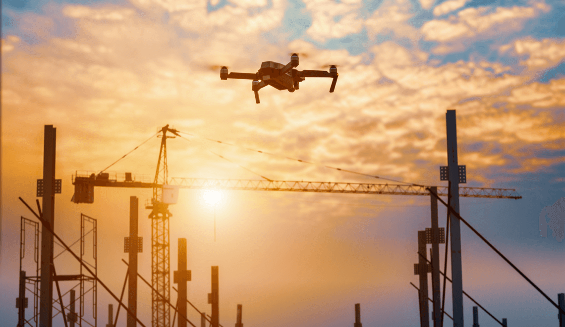
Working in construction, you know how important it is to keep projects safe, on schedule and within budget. Drones in construction can help you monitor your site, check progress and improve worker safety while saving both time and money. By using drones, you get high-resolution aerial imagery and data that used to take days to collect by hand.
You’ll find that drones can access hard-to-reach areas and help identify problems before they slow the job down. With quick site surveys, quality checks and safety inspections, drones are changing how construction sites operate.
Wondering if drones are right for your next project? This guide will break down the main uses and real benefits of drone technology and how it can enhance your construction workflow.
Understanding drones in the construction industry
Drones in construction have changed the way sites are surveyed, monitored and managed. These aerial vehicles help you gather data quickly, improve safety and cut both costs and labour time. By using cutting-edge drone technologies, you gain more information and better control over your projects.
Evolution from traditional methods
Traditional inspections rely on manual surveying and ground-based activities to map sites or check progress. This often meant slower work, more risk and the possibility of missing key details.
With drones, you no longer need to spend hours or even days to cover large areas. Their cameras and sensors capture high-resolution aerial images in minutes, allowing you to spot problems early and avoid costly mistakes. Drone use also reduces the need for people to enter dangerous or hard-to-reach areas. As a result, many construction companies report increased safety and a better understanding of site conditions.
Key drone technologies and types
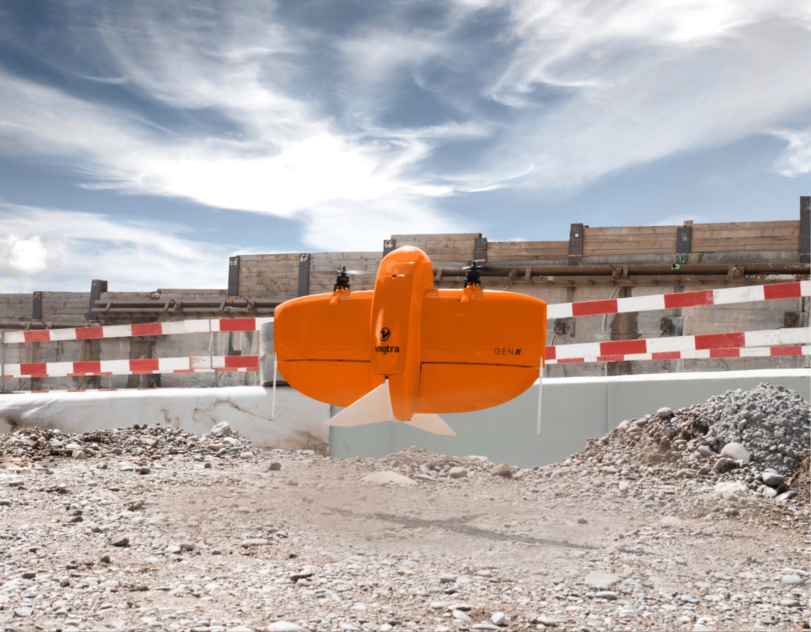
The most common types of drones in construction are fixed-wing, multi-rotor and hybrid drones.
- Fixed-wing drones cover large distances and are good for mapping big sites or road projects.
- Multi-rotor drones hover and create detailed inspections of buildings or structures.
- Hybrid drones use features from both, giving you flexibility for different tasks.
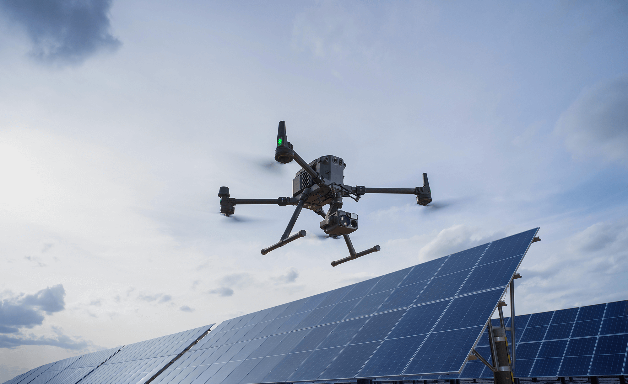
Key technologies include cameras for aerial photos, LiDAR sensors for terrain modelling and thermal imaging. Many commercial drones in the construction sector carry GPS and can fly set routes repeatedly. In the case of our DJI Matrice 4 drones, they fly preset paths completely autonomously.
For project managers, these tools make it easier to create maps, estimate earthwork and check on progress from your desk. High-accuracy data from drones helps your team make faster, data-driven decisions.
Regulations and drone law in the construction industry
Those flying drones must follow strict rules set by the Civil Aviation Authority (CAA). It is a legal requirement for businesses flying drones to be registered as an operator and most commercial pilots need to have passed CAA training. You must only use drones below 120 metres and never fly them close to people not involved in your operations.
Insurance is often mandatory for companies using drones. Operations may need extra permission if you need to carry out surveying in restricted airspace or near built-up areas. Regulations can change, so it is important to keep up to date on drone law and industry standards. This makes sure you avoid fines and keep your site safe for everyone.
With Dronebox, you don’t need to worry about licences and other requirements with our managed service. We hold the licences and take care of all your drone activity, leaving you to focus on your core role.
Core applications of drone surveys in construction
Cutting-edge drones are transforming how you handle construction projects. They improve accuracy, speed up workflows and help keep your team safe by providing detailed data and real-time visuals from above. The applications of drone surveys in the construction sector are far-reaching.
Aerial surveys and mapping
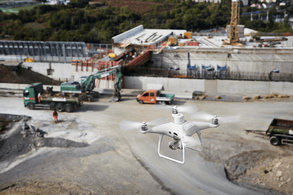
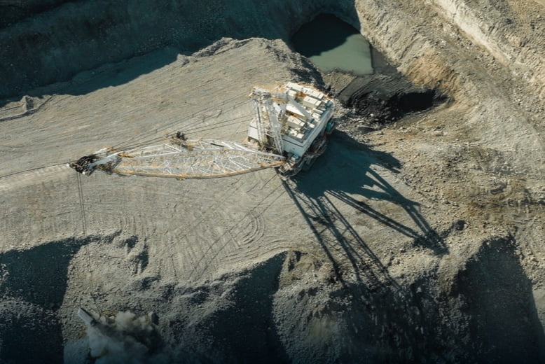
Drones allow you to quickly complete aerial surveys of construction sites without the need for manual land surveys. With high-resolution cameras and advanced sensors, drones can capture drone imagery for precise mapping and topographic mapping of even the most complex construction sites.
By using drones for construction surveys, you get access to real-time data on site conditions, terrain, elevations and possible obstacles. This lets you create detailed maps that support design planning, earthwork calculations, and the placement of structures. It is much faster and often less expensive than traditional survey methods. Drone surveying also offers a safer way to collect data in hazardous or hard-to-reach areas.
You can improve accuracy for project layouts and reduce mistakes that slow down the building process.
Progress tracking and monitoring site conditions
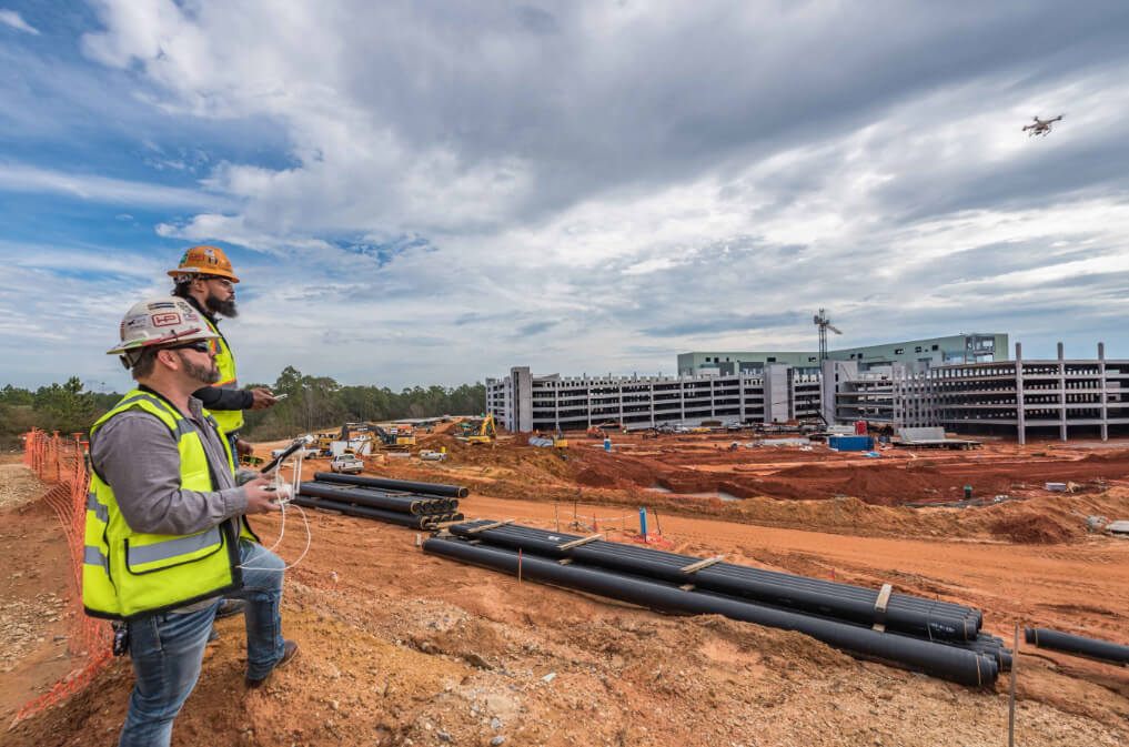
Drones make it easy to track the progress of your construction projects. With regular drone flights, you collect a series of drone footage and images that show exactly what has changed since the last visit.

This lets you compare the current site to project plans and monitor if tasks are being completed on schedule. Progress tracking helps you spot delays early so you can adjust resources or plans as needed. Drone footage of the building process also helps with client updates, as you can share clear, accurate images, videos and 3D models without needing frequent site visits.
In addition to progress monitoring, drones in construction allow you to monitor site conditions such as stockpile volumes, equipment placement, and access paths. These insights support better logistics and planning.
Safety inspections and risk reduction
Drones offer a safe way to conduct detailed inspections of large-scale infrastructure projects or complex construction sites. By using drones for safety inspections, you can observe hard-to-reach areas, tall structures or hazardous zones without putting your team at risk.
You get immediate access to high-definition aerial inspections, which help spot problems like structural damage, unsafe scaffolding or issues with equipment. Early detection of hazards means you can deal with risks before they cause accidents on construction sites.
Regular drone safety inspections aid compliance with health and safety rules and support a safer work environment.
Key benefits of using drones for construction
Drones in construction offer precise measurements, better safety and major savings in cost and time for construction firms. Using cutting-edge drone technology helps you collect more data, track progress and spot problems before they grow.
Accurate measurements and enhanced data collection
Drones use high-resolution cameras and LiDAR sensors to capture detailed and high-accuracy data. This includes real-time images, video and even 3D maps of your construction site. With precise aerial surveying, you get highly accurate models of the land, including topography, volumes and distances.
Traditional methods often miss small errors or take a long time to collect data. Drones can provide comprehensive data collection on large-scale mapping projects in just a fraction of the time. This leads to better digital twins and an up-to-date, accurate model of your site at any stage.
With automated flight paths and quick data gathering, you are able to update your measurements often, improving the accuracy of progress monitoring and reporting. This is especially true when you have a dedicated on-site drone in a box. Complex tasks like earthwork and volume assessments become simpler and more reliable using drone technology in the construction industry.
Improved site safety and reduced risks
Drones help minimise the risks often faced on busy construction sites. Instead of sending people into dangerous or hard-to-reach places, you can fly a drone for inspections and progress tracking from a safe distance. This lowers the chance of accidents on construction sites caused by manual surveying.
High-resolution data from drones in construction lets your team spot hazards early. You can carry out roof inspections or inspect tall structures from the ground, avoiding the need for ladders or scaffolding. Regular site scans give you clear, comprehensive data to spot and address safety issues before workers are exposed.
Because drone flights are fast and can cover the whole site in minutes, you can monitor ongoing work without disrupting crews or slowing down the project. Improved safety and reduced risks are some of the biggest benefits of drones for any construction firm looking to keep people safe.
Time and cost-savings
Drones can dramatically cut down the time needed for tasks like surveying, inspections and progress tracking. A job that might take days using traditional methods often takes just hours or less by drone. This lower cost of time directly saves you money.
The initial investment cost of a drone and its software is usually outweighed by the long-term savings on labour, transport and equipment. You also get high-accuracy images and LiDAR data quickly, supporting faster decision-making.
With frequent, real-time data collection, you can catch and fix issues before they cause delays or expensive mistakes. These considerable benefits help construction firms stay on budget, improve efficiency, and deliver each project on time.
Frequently asked questions
Drones in construction are used to improve safety, gather detailed site data and complete surveying jobs more quickly. They help construction teams save time, reduce human error and make it easier to track site progress from above.
How are drones revolutionising practices within the construction industry?
You can use drones to monitor building sites in real time and create detailed aerial maps. Drones make it easier to keep projects on schedule and identify possible risks faster. Many construction companies use drones to improve site inspections, which reduces the need for risky manual checks.
What are the primary benefits of utilising drone technology on construction sites?
Drones help you keep workers safe by reducing the need for them to work at height. You can also collect accurate images and measurements much faster than traditional methods. By using drones, your team can complete surveys in up to 70% less time, making the job safer and more efficient.
How have drones improved accuracy and efficiency in construction project management?
You can use drones to update site maps and progress photos daily or weekly. This frequent data captures changes and mistakes early, helping you avoid delays and extra costs. Drones also help create digital records, making project handovers easier and keeping everyone on your team informed.
What types of drones are commonly used in construction, and for what specific purposes?
The type of drone used in your project will depend on your requirements. Multirotor drones are popular for close-up inspections and mapping small areas. Fixed-wing drones cover larger sites and are used for surveying and topography. Some drones have special cameras used for tasks like thermal imaging, volume measurement and creating 3D models.
More Articles
How Do Drone Site Surveys Work & What Benefits Do They Offer?
Drone site surveys use aerial technology to collect accurate, detailed data from above, saving you both time and effort compared to traditional methods. With a drone, you can see large areas in minutes, spot issues fast and get high-quality images or maps without needing to be on site for hours. This technology is making surveys […]
A Guide to Unmanned Aerial Systems (UAS) & Business Use Cases
Unmanned aerial systems (UAS), often called drones, have quickly become valuable tools across different industries. You can use UAS for jobs like inspecting infrastructure, taking aerial photographs and studying the environment. Businesses are finding new ways to save time, reduce costs and improve safety by using drones for tasks that were once difficult or risky. […]
The Ultimate Guide to Autonomous Drones For Businesses
Autonomous drones offer exciting possibilities across various industries, where they can streamline operations, cut costs and boost efficiency like never before. Whether you are in construction, agriculture or security, these airborne innovations can make tasks easier and quicker. Autonomous drones can perform jobs such as surveying land, inspecting infrastructure or monitoring security. By automating these […]